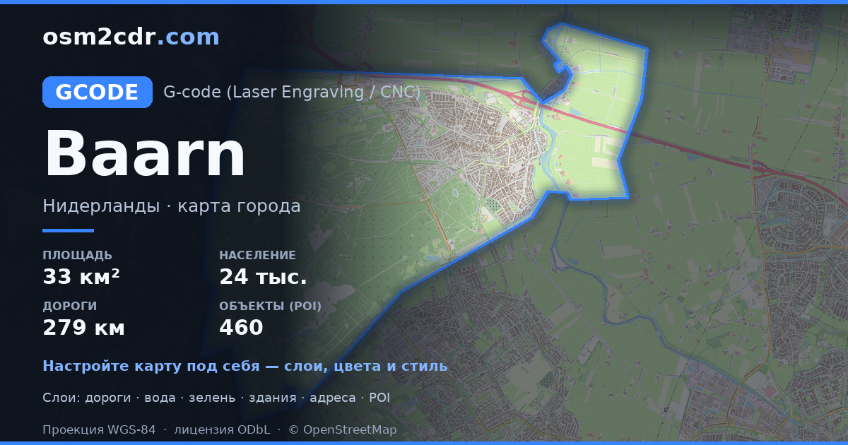
Map of Baarn in G-code format
A map built from OpenStreetMap data, ready to download
Customize the map
Open this place's area in the constructor and adjust everything to your needs
Open in constructor →Map passport
What this map contains by default
This is how the map is built as-is — every setting can be changed in the constructor.
About G-code
Map of Baarn in G-code — an export of real OpenStreetMap data for the selected area.
G-code is a CNC and laser engraver control language. Maps are converted to toolpaths for laser cutting or engraving.
Which layers are in the file
This file for the selected area contains:
- Roads
- Buildings
- Water
- Greenery
- Points of interest
Coordinate systems
WGS 84 (EPSG:4326), selectable in the wizard
Compatibility
Units
Meters (projected in the chosen coordinate system)
| Category | GIS |
| File extension | .gcode |
| Tier | Free |
What's in the G-code map of Baarn
17,397 buildings (8,217 residential, 171 commercial, 163 industrial, 5 religious), 279.7 km of roads, 460 points of interest, 13 landmarks.
The area covers 33 km², with about 527 buildings per km².
Mostly residential streets 72.0 km, cycleways 61.2 km, unclassified roads 42.9 km.
70.6% of the area is green space.
The map marks 4 parks and 10 water bodies.
Key amenities: schools — 8, supermarkets — 8, convenience stores — 5.
Public transport: 39 bus stops, 3 tram stops, 1 rail stations.
Main streets: Amsterdamsestraatweg, Hilversumsestraatweg, Bisschopsweg, Biltseweg, Hoge Vuurseweg
Landmarks: Historische Kring Baerne, Kasteel Groeneveld, Stichting Groenegraf.nl, IJskelder, Kei van Lage Vuursche
How to use G-code for Baarn
- Select the Baarn map area on the main page
- Choose G-code format and configure export settings
- Click Export and wait for processing
- Download the file and use in your application


