osm2cdr.com
Ready map · OSM data

Map of South

Region · Cameroon · 49,488 km2

A ready-made vector map with buildings, roads and features — for CAD, GIS and print. Download after signing in.

Choose a format
Download · PDF, ≈ 642 KB
All 140 formats Customize your area
140 formatsOSM datadownload after signing in
N
© OpenStreetMap
Boundary · South · OpenStreetMap
BuildingsRoadsWaterGreeneryBoundary

Map passport

49,488 km2
Area
22 477
Buildings
8 168 km
Roads
1 266
Points of interest
Typeregion
Coordinates2.76° N, 11.49° E
Elevation≈658 m
OSM data2026-08-24
Customize the map for yourself

Open the area of South in the constructor and change layers, style, format and coordinate system for your task.

Open in constructor

Map defaults

This is how the map is built by default — every parameter can be changed in the constructor.

Format
PDF choose
Layers
Roads, Buildings, Water, Greenery, POIchange
Style
Standard (colour)change
Detail
overview (auto)change
House numbers
not visible at this scalechange
Points of interest
not visible at this scalechange
Coordinate system
WGS 84 (auto)change
Sheet size
Relief and grid

Download the map of South in 140 formats

The same OpenStreetMap dataset — in the format for your software. Pick by task: CAD, vector, GIS, 3D or print.

Popular formatsthe most common formats
MOST COMMON
PDFfor printing and viewing.pdf · 1.7 MB
CDRfor CorelDRAW.cdr · ≈ 443 KB
SVGfor Illustrator, Inkscape, web.svg · ≈ 508 KB
GeoJSONfor QGIS and web maps.geojson · ≈ 956 KB
DWGfor AutoCAD, nanoCAD, BricsCAD.dwg · ≈ 19.9 MB
CADdrafting and design
DWGFREE
AutoCAD.dwg · ≈ 50 MB
DXFFREE
CAD exchange.dxf · ≈ 65.8 MB
CDRFREE
CorelDRAW.cdr · ≈ 144 KB
DGNFREE
MicroStation.dgn · ≈ 642 KB
Vectorillustration and web
SVGFREE
Web · vector.svg · ≈ 1.1 MB
AIFREE
Illustrator.ai · ≈ 902 KB
EPSFREE
Print production.eps · ≈ 882 KB
PDFFREE
Vector · print.pdf · 1.7 MB
GISgeo-referenced data
GeoJSONFREE
GIS · data.geojson · ≈ 2 MB
ShapefileFREE
QGIS · ArcGIS.shp · ≈ 256 KB
KMLFREE
Google Earth.kml · ≈ 1.9 MB
GeoPackageFREE
GeoPackage.gpkg · ≈ 1.1 MB
3Dvolume and models
STLFREE
3D printing.stl · ≈ 62 KB
OBJFREE
3D model.obj · ≈ 24 KB
glTFFREE
3D · web.gltf · ≈ 44 KB
DAEFREE
Collada.dae · ≈ 41 KB
Printraster and layouts
PNGFREE
Raster · transparency.png · ≈ 738 KB
JPGFREE
Raster.jpg · ≈ 188 KB
PDFFREE
Print layout.pdf · 1.7 MB
TIFFFREE
Print production.tif · ≈ 1.7 MB
Open all 140 formats

Maps of Cameroon

All places within the territory — every map is ready to download.

Map of South
South
Cameroon

About South

South is a ready-made vector map based on OpenStreetMap data. It is not an image but structured layers of buildings, roads, water bodies, greenery and points of interest that can be edited in any professional software. The territory belongs to the «Cameroon» region and covers an area of 49,488 km2 within administrative boundaries.

The map includes 22 477 buildings, 8 168 km of roads and streets and 1 266 points of interest. Each layer can be turned on or off before download, and the data preserves the original OpenStreetMap classification.

The map works well as an underlay in AutoCAD and CorelDRAW, for loading layers into QGIS and ArcGIS, preparing printed schemes and plans, or as a basis for design and navigation. 140 formats are available — from DWG, DXF and SVG to GeoJSON, Shapefile and 3D models, in the WGS 84 coordinate system.

22 477buildings
8 168 kmroads and streets
1 266features
140formats
WGS 84coordinate system

What's inside the map of South

The map covers the entire area of South within administrative boundaries — 49,488 km2. Each layer can be turned on or off before download.

22 477buildings
Buildings on separate layers
commercial3
industrial12
8 168km
Roads with classification
trunk roads1 012 km
primary roads437 km
service roads955 km
1 266POI
Points of interest
bars234
fuel stations22
hotels115
Main streets
Kribi-LolodorfLolodorf - ÉsékaEbolowa-Campopisteroutechemin
Landmarks · 6
›Maison de Ndiva
›Musée des arts nègres
›Palais Zenker
›Résidence présidentielle de Mvomeka
›Grotte à buffle
›Chutes de la Lobé

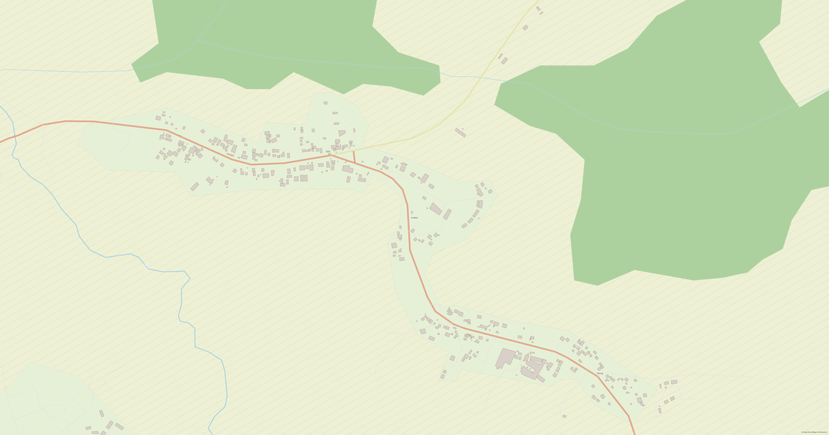
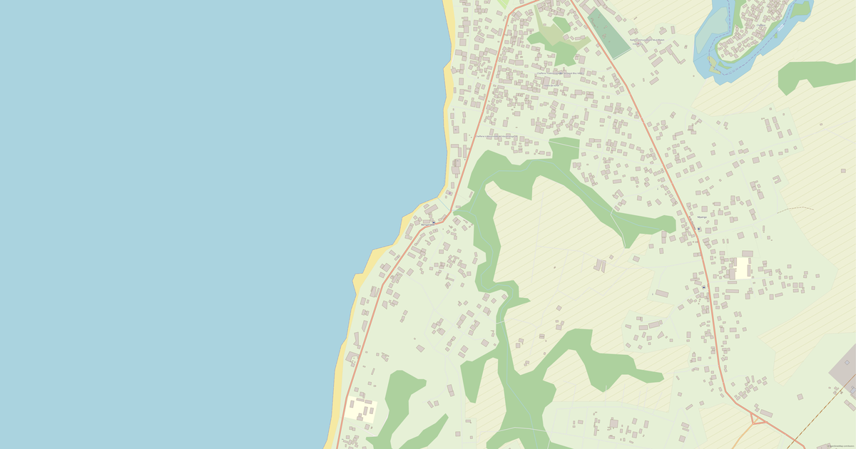
What the map of South looks like

The same place in three render styles. Buildings, roads, water and greenery carry over into every format losslessly.

Blueprint (CAD) — map of South
Blueprint (CAD)
Outlines on a dark background — for DWG and DXF
Standard vector — map of South
Standard vector
A colour map with buildings, roads and greenery
Print layout — map of South
Print layout
A ready layout for PDF and print production

Infrastructure of South

What's on the territory according to OpenStreetMap data.

352
Dining
448
Shops
202
Hotels
7
Transport
1
Parks
100
Water

Density and saturation

How many features there are per square kilometre — according to OpenStreetMap data.

0
bld/km²
0,2
km/km²
0
POI/km²

How the map is used

The same dataset for South — for different tasks: from drafting to 3D printing.

Architecture and design
An underlay and building outlines for drawings and layouts.
DWG / DXF
Design and illustration
A vector map base for posters, schemes and identity design.
SVG / AI
GIS and analysis
Geo-referenced layers for QGIS, ArcGIS and spatial analysis.
GeoJSON / SHP
3D printing and models
Relief of buildings and terrain for printing and visualization.
STL
Navigation and tracks
Map data for navigators and route apps.
Garmin
Print and publishing
A ready map layout for print production.
PDF

Landmarks

Museums, monuments and notable places of South according to OpenStreetMap data — each with a link to the map.

🏛️
Maison de Ndiva
MuseumOSM
🏛️
Musée des arts nègres
MuseumOSM
🏛️
Musée des arts nègres
MuseumOSM
🏰
Palais Zenker
CastleOSM
🏰
Résidence présidentielle de Mvomeka
CastleOSM
⭐
Grotte à buffle
AttractionOSM
⭐
Chutes de la Lobé
AttractionOSM
⭐
"Boucanier" Bibiana
AttractionOSM
⭐
Paris Plage chez Cédric
AttractionOSM
⭐
Grotte à cachette
AttractionOSM
⭐
Parc National Marin Manyange na Elombo-Campo
AttractionOSM
⭐
Rocher du loup
AttractionOSM
🗿
Chefferie pama
MonumentOSM
🗿
Monument De L’independance De L’EPC
MonumentOSM
🗿
Carrefour lion
MonumentOSM
⛪
Église apostolique du Cameroun
Place of worshipOSM
⛪
Église biblique de la vie profonde
Place of worshipOSM
⛪
Mosquée centrale de Kribi
Place of worshipOSM
⛪
Salle du royaume des témoins de Jéhovah
Place of worshipOSM
⛪
Petite mission
Place of worshipOSM
⛪
Église presbiterienne camerounaise
Place of worshipOSM
⛪
Eglise evangelique du cameroun , paroisse bilingue de kribi
Place of worshipOSM
⛪
Eglise des assemblees de Dieu
Place of worshipOSM
⛪
Eglise chretienne des rachetés de Dieu
Place of worshipOSM

Nature and green areas

Parks, squares and water bodies of South according to OpenStreetMap data — everything is carried into the map as separate layers.

1
parks
100
water bodies
Parks and squares
›Square · 0 ha
Water bodies
›Lac de barrage de Mékin · lake
›Río Campo · lake
›Lac Municipal · lake
›ALIBA · lake
›Dja · river
›Ayina · river
›Lokoundjé · river
›Lobé · river

Public transport

Stops and stations according to OpenStreetMap data.

7
bus stops

Public transport of South includes 7 bus stops. All stops and stations are included in the map as a separate layer.

Streets and roads

Roads classified by type — according to OpenStreetMap data.

1782,3 km
secondary roads
1489,5 km
tertiary roads
1235,4 km
unclassified roads
1172,5 km
residential streets
1012,9 km
trunk roads
955 km
service roads
437,6 km
primary roads
68 km
motorways

The street network of South — 8 168 km of roads according to OpenStreetMap data, classified by type.

Named streets
›Kribi-Lolodorf · 93,7 km
›Lolodorf - Éséka · 43,8 km
›Ebolowa-Campo · 10,2 km
›piste · 4,6 km
›route · 4,1 km
›chemin · 3,6 km
›Route de l'Université · 2,5 km
›Avenue Principale · 2,1 km

Restaurants and cafés

Food and drink venues according to OpenStreetMap data.

109
restaurants
3
cafés
236
bars
4
fast food

In South, OpenStreetMap records 352 food and drink venues — restaurants, cafés, bars and fast-food outlets.

Shops and retail

Retail according to OpenStreetMap data.

448
shops

In South, OpenStreetMap records 448 shops and retail outlets. Main categories: Hardware, Hairdressers, Clothes, General, Beauty, Coffee.

Hardware63Hairdressers63Clothes44General37Beauty18Coffee15Copy Shop15Seafood12Dry Cleaning12Mobile Phones12

Education

Schools, universities and libraries according to OpenStreetMap data.

160
schools
17
universities
3
libraries
42
kindergartens

Schools: CETIC de Mengong, COMPLEXE SCOLAIRE BILINGUE JOSEPH VERSAILLE, Centre d'instruction maritime et portuaire, Cité de l'enfance, College adventiste bilingue de kribi, Collège Bilingue Notre-Dame du Sacré-Cœur, Collège Bonneau, Collège Saint-Joseph. Universities: CENTRE D'ACCUEIL ET FORMATION DES FEMLES, Cameroun Entreprises Développement, Cefopro Hotelerie, Centre de Formation Professionnelle d'Excellence de Sangmélima, Centre de formation professionnelle en informatique., College St Charles Lwanga, ENIEG, Facultés Des Sciences Juridiques Et Politiques Université D’Ebolowa. Libraries: Alliance Biblique Du Cameroun, Bibliothèque, centre biblique.

Healthcare

Hospitals, pharmacies and clinics according to OpenStreetMap data.

20
hospitals
12
pharmacies
52
clinics

Hospitals of South: Ambam District Hospital, Cabinet De Soins Les Béatitudes, Centre Hospitalier Régional d'Ebolowa, Centre de Sante Integre Urbain d'Ambam, Hopital de district de Sangmelima, Hospital central d'Enongal, Hôpital De Distrit De Kribi, Hôpital Enongal EPC.

Where to stay

Hotels, hostels and guest houses according to OpenStreetMap data.

202
accommodation places
Hotels and guest houses
›Indaba freeland kribi · Hotel
›Annexe Onos hotel · Apartments
›Auberge tristar de djoum · Hostel
›Manapani les flots plus · Hotel
›Bertha Hotel Jc Bar · Hotel
›Les Anges Du Ciel · Motel
›Hotel L´Escapade · Hotel
›Le Grand Bazar · Hotel

What's on the map

Each layer of the South map can be turned on or off before download.

Map layers
›Buildings: 22 477
›Roads: 8 168 km
›Points of interest: 1 266

Key figures

A summary based on OpenStreetMap data for South.

Buildings22 477
Commercial buildings3
Roads8 168 km
Food and drink venues352
Shops448
Points of interest1 266
Bus stops7
Hospitals20
Pharmacies12
Landmarks100

Compared to neighbours

How the place compares to neighbours within a 30-kilometre radius.

127 places within a 30 km radius to compare.

🛣️ Roadspercentile 0 of 100

Frequently asked questions

Open osm2cdr.com, select the target area on the map, choose a format, and start export. Most maps are ready in a few seconds.
Map of South is available in 140 formats: CDR, DWG, DXF, SVG, AI, EPS, PDF, PNG, GeoJSON, KML, Shapefile, GeoTIFF and others.
Pick a format: all 140 formats are available, with no area limits. Download after signing in to the site; you see the price before you pay.
The service uses OpenStreetMap data, updated monthly.
Generation time depends on the area size. You will receive an email notification when ready.