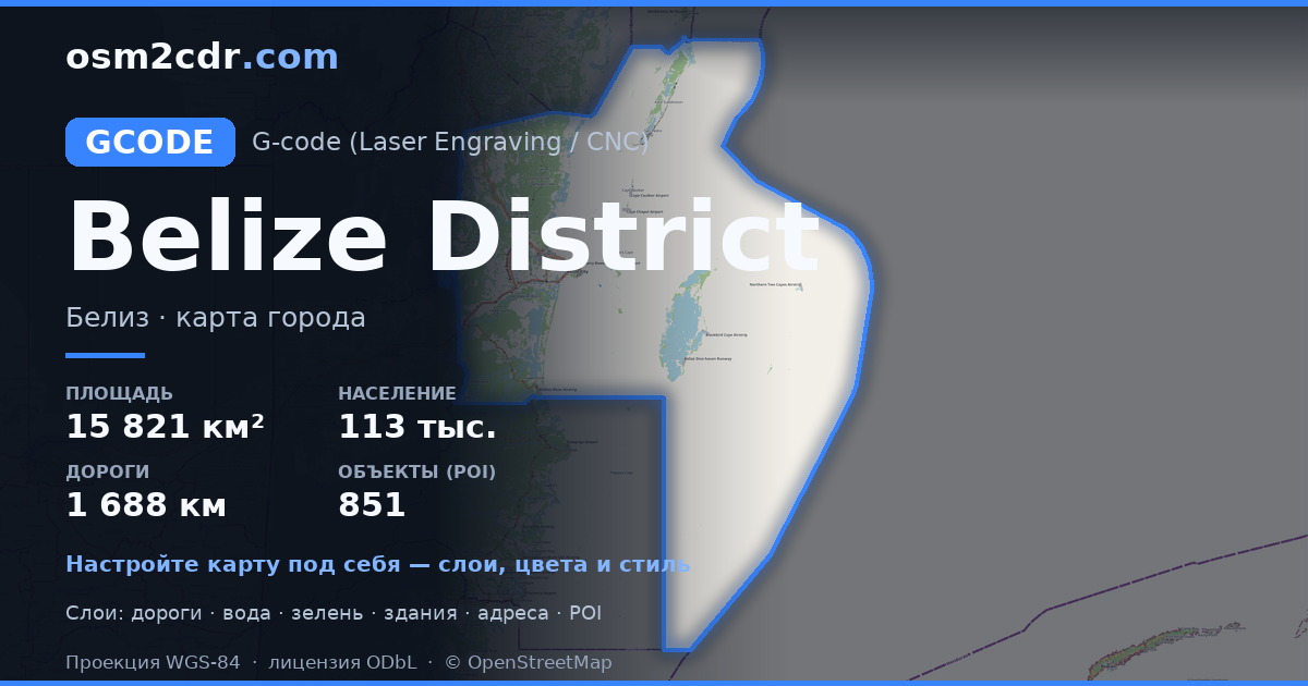
Map of Belize District in G-code format
A map built from OpenStreetMap data, ready to download
Customize the map
Open this place's area in the constructor and adjust everything to your needs
Open in constructor →Map passport
What this map contains by default
This is how the map is built as-is — every setting can be changed in the constructor.
About G-code
Map of Belize District in G-code — an export of real OpenStreetMap data for the selected area.
G-code is a CNC and laser engraver control language. Maps are converted to toolpaths for laser cutting or engraving.
Which layers are in the file
This file for the selected area contains:
- Roads
- Buildings
- Water
- Greenery
- Points of interest
Coordinate systems
WGS 84 (EPSG:4326), selectable in the wizard
Compatibility
Units
Meters (projected in the chosen coordinate system)
| Category | GIS |
| File extension | .gcode |
| Tier | Free |
What's in the G-code map of Belize District
35,791 buildings (1,754 residential, 168 commercial, 46 industrial, 29 religious), 1,688.7 km of roads, 851 points of interest, 15 landmarks.
Mostly residential streets 551.1 km, unclassified roads 361.9 km, service roads 333.6 km.
Key amenities: pharmacies — 16, supermarkets — 35, convenience stores — 215.
Main streets: Old Northern Highway, Coastal Plain Highway, Bermudian Landing Road, Honourable Heredia Jr. North Road, Rancho Dolores Road
Landmarks: Old Belize Exhibit, Shark & Ray alley, Hol Chan Cut, Shark, BELIZE sign
How to use G-code for Belize District
- Select the Belize District map area on the main page
- Choose G-code format and configure export settings
- Click Export and wait for processing
- Download the file and use in your application


