Karte von Misiones im G-code-Format
Karte aus OpenStreetMap-Daten, bereit zum Herunterladen
Karte anpassen
Bereich dieses Ortes im Konstruktor offnen und alles anpassen
Im Konstruktor offnen →Karten-Steckbrief
Was diese Karte standardmäßig enthält
So wird die Karte „wie sie ist“ zusammengestellt — jeder Parameter lässt sich im Konstruktor ändern.
Über G-code
Karte von Misiones im Format G-code — ein Export echter OpenStreetMap-Daten für den gewählten Bereich.
G-code is a CNC and laser engraver control language. Maps are converted to toolpaths for laser cutting or engraving.
Welche Ebenen die Datei enthält
Diese Datei enthält für den gewählten Bereich:
- Straßen
- Gebäude
- Wasser
- Grün
- Points of Interest
Koordinatensysteme
WGS 84 (EPSG:4326), im Assistenten wahlbar
Kompatibilität
Maßeinheiten
Meter (projiziert im gewählten Koordinatensystem)
| Kategorie | GIS |
| Dateierweiterung | .gcode |
| Tarif | Free |
What's in the G-code map of Misiones
122,510 buildings (14,398 residential, 1,981 commercial, 2,419 industrial, 306 religious), 77,041.5 km of roads, 21,928 points of interest, 100 landmarks.
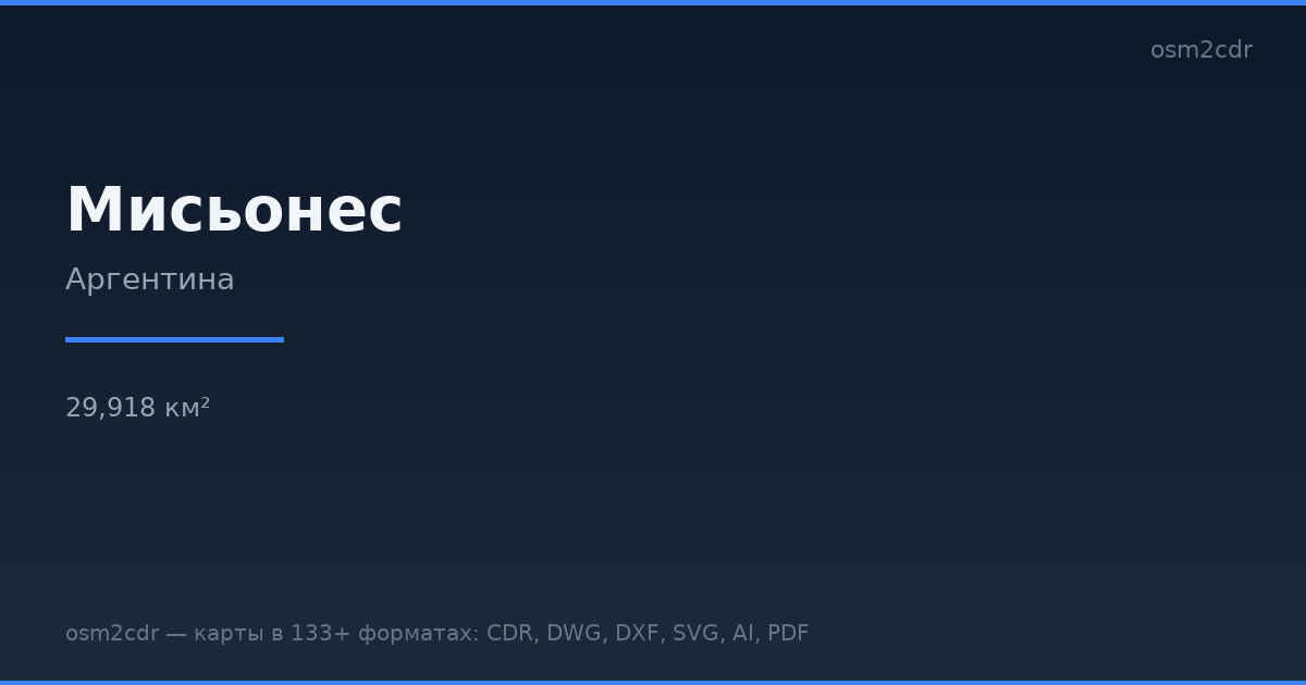
The area covers 29,918 km², with about 4 buildings per km².
Mostly unclassified roads 46,344.6 km, residential streets 14,793.1 km, tertiary roads 5,067.4 km.
The map marks 536 parks and 1,403 water bodies.
Key amenities: schools — 3,170, kindergartens — 715, pharmacies — 858.
Public transport: 2,665 bus stops, 4 tram stops, 12 rail stations.
Main streets: Ruta Provincial 2, Ruta Provincial 15, Ruta Provincial 16, Ruta Provincial 18, Ruta Provincial 17
Landmarks: Museo Gentilini, Museo Bella Vista, Ruinas Jesuíticas de San Ignacio Miní, Diego de Alfaro, A casa da piscina
So verwenden Sie G-code für Misiones
- Wählen Sie den Kartenbereich von Misiones auf der Hauptseite aus
- Wählen Sie das Format G-code und konfigurieren Sie die Exporteinstellungen
- Klicken Sie auf „Exportieren“ und warten Sie auf den Abschluss
- Laden Sie die fertige Datei herunter und verwenden Sie sie im gewünschten Programm


