Karte von Ibia im DGN-Format
A map built from OpenStreetMap data, ready to download
Karte anpassen
Bereich dieses Ortes im Konstruktor offnen und alles anpassen
Im Konstruktor offnen →Karten-Steckbrief
Flache2.0 km²
Gebaude24
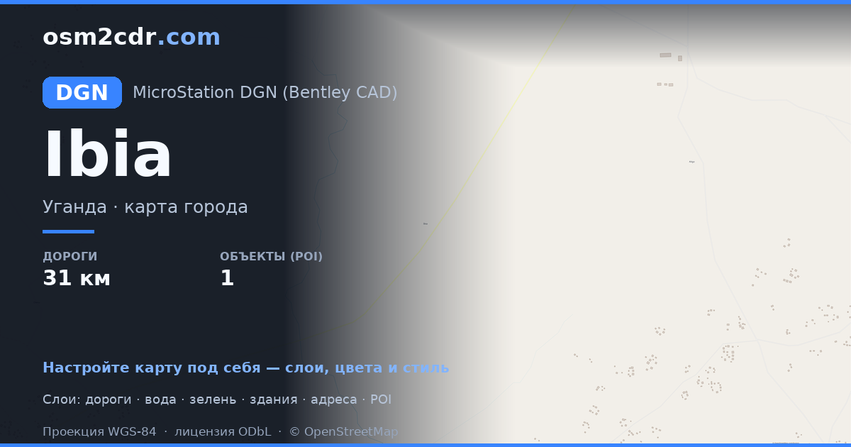
Strassen31 km
Points of Interest1
What this map contains by default
This is how the map is built as-is — every setting can be changed in the constructor.
Über DGN
Map of Ibia in DGN — an export of real OpenStreetMap data for the selected area.
DGN is the Bentley MicroStation format for infrastructure design. Standard for road and bridge engineering.
Which layers are in the file
This file for the selected area contains:
- Roads
- Buildings
- Water
- Points of interest
Coordinate systems
WGS 84 (EPSG:4326), im Assistenten wahlbar
Compatibility
MicroStationOpenRoadsQGISFMEAutoCAD (import)GDAL/OGR
Units
Meters (projected in the chosen coordinate system)
| Kategorie | GIS |
| Dateierweiterung | .dgn |
| Tarif | Free |
What's in the DGN map of Ibia
24 buildings, 31.1 km of roads, 1 points of interest.
Mostly tertiary roads 21.0 km, secondary roads 9.7 km, unclassified roads 0.4 km.
How to use DGN for Ibia
- Select the Ibia map area on the main page
- Choose DGN format and configure export settings
- Click Export and wait for processing
- Download the file and use in your application
Programs that open DGN
MicroStationOpenRoadsQGISFMEAutoCAD (import)GDAL/OGR


