Karte von Sodinga im DXF-Format
A map built from OpenStreetMap data, ready to download

Karte anpassen
Bereich dieses Ortes im Konstruktor offnen und alles anpassen
Im Konstruktor offnen →Karten-Steckbrief
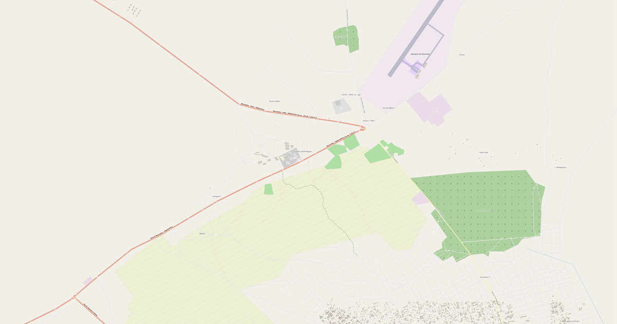
Flache2.0 km²
Strassen19 km
What this map contains by default
This is how the map is built as-is — every setting can be changed in the constructor.
Über DXF
Map of Sodinga in DWG: 19 km of roads classified by type — in the WGS 84 coordinate system, ready to open in AutoCAD, BricsCAD, nanoCAD. Every feature type on its own layer, units are meters.
Which layers are in the file
This file for the selected area contains:
- Roads
- Water
Geometry by layer
- Roads — polylines classified by road type
- Water — closed polylines and shoreline polylines
Coordinate systems
WGS 84 (EPSG:4326), im Assistenten wahlbar
Compatibility
AutoCADBricsCADnanoCADKOMPAS-3DLibreCADQGIS
Units
Meters (projected in the chosen coordinate system)
| Kategorie | CAD |
| Dateierweiterung | .dxf |
| Tarif | Free |
What's in the DXF map of Sodinga
19.0 km of roads.
Mostly trunk roads 19.0 km.
How to use DXF for Sodinga
- Select the desired Sodinga area on the map
- Choose DXF format and export
- Open in AutoCAD, QGIS, or FreeCAD
- All features are organized into classified layers
Programs that open DXF
AutoCADBricsCADnanoCADKOMPAS-3DLibreCADQGIS
FAQ: DXF for Sodinga
What's the difference between DXF and DWG?
DXF is an open text format readable by any CAD software. DWG is a binary AutoCAD format with higher precision. Choose DXF for compatibility.