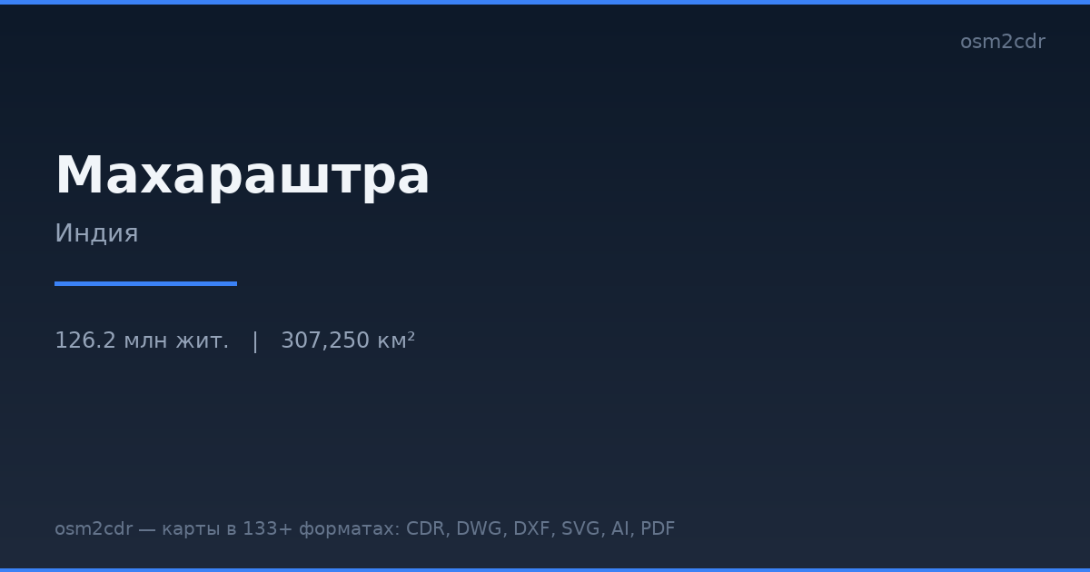
Karte von Maharashtra im G-code-Format
Karte aus OpenStreetMap-Daten, bereit zum Herunterladen
Karte anpassen
Bereich dieses Ortes im Konstruktor offnen und alles anpassen
Im Konstruktor offnen →Karten-Steckbrief
Was diese Karte standardmäßig enthält
So wird die Karte „wie sie ist“ zusammengestellt — jeder Parameter lässt sich im Konstruktor ändern.
Über G-code
Karte von Maharashtra im Format G-code — ein Export echter OpenStreetMap-Daten für den gewählten Bereich.
G-code is a CNC and laser engraver control language. Maps are converted to toolpaths for laser cutting or engraving.
Welche Ebenen die Datei enthält
Diese Datei enthält für den gewählten Bereich:
- Straßen
- Gebäude
- Wasser
- Grün
- Points of Interest
Koordinatensysteme
WGS 84 (EPSG:4326), im Assistenten wahlbar
Kompatibilität
Maßeinheiten
Meter (projiziert im gewählten Koordinatensystem)
| Kategorie | GIS |
| Dateierweiterung | .gcode |
| Tarif | Kostenlos |
What's in the G-code map of Maharashtra
842,126 buildings (67,134 residential, 2,947 commercial, 4,946 industrial, 359 religious), 334,863.3 km of roads, 27,784 points of interest, 15 landmarks.
The area covers 307,250 km², with about 3 buildings per km².
Mostly residential streets 90,583.8 km, unclassified roads 75,418.0 km, tertiary roads 75,182.8 km.
The map marks 5 parks and 10 water bodies.
Key amenities: schools — 814, hospitals — 7,578, clinics — 2,042.
Public transport: 3,904 bus stops, 725 tram stops, 91 metro stations, 931 rail stations.
Main streets: Amravati Paratwada Road, Sagari Mahamarg, State Highway 30, State Highway 14, SH 30
Landmarks: Vidarbha Mahavidyalaya, Government College of Pharmacy, Directorate of Vocational Education & Training, Indirabai Meghe Mahila Mahavidyalaya, APMC AMRAVATI
So verwenden Sie G-code für Maharashtra
- Wählen Sie den Kartenbereich von Maharashtra auf der Hauptseite aus
- Wählen Sie das Format G-code und konfigurieren Sie die Exporteinstellungen
- Klicken Sie auf „Exportieren“ und warten Sie auf den Abschluss
- Laden Sie die fertige Datei herunter und verwenden Sie sie im gewünschten Programm


