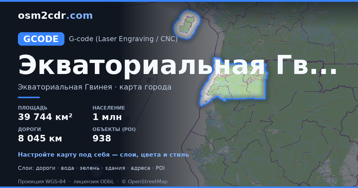
Karte von Äquatorialguinea im G-code-Format
Karte aus OpenStreetMap-Daten, bereit zum Herunterladen
Karte anpassen
Bereich dieses Ortes im Konstruktor offnen und alles anpassen
Im Konstruktor offnen →Karten-Steckbrief
Was diese Karte standardmäßig enthält
So wird die Karte „wie sie ist“ zusammengestellt — jeder Parameter lässt sich im Konstruktor ändern.
Über G-code
Karte von Äquatorialguinea im Format G-code — ein Export echter OpenStreetMap-Daten für den gewählten Bereich.
G-code is a CNC and laser engraver control language. Maps are converted to toolpaths for laser cutting or engraving.
Welche Ebenen die Datei enthält
Diese Datei enthält für den gewählten Bereich:
- Straßen
- Gebäude
- Wasser
- Grün
- Points of Interest
Koordinatensysteme
WGS 84 (EPSG:4326), im Assistenten wahlbar
Kompatibilität
Maßeinheiten
Meter (projiziert im gewählten Koordinatensystem)
| Kategorie | GIS |
| Dateierweiterung | .gcode |
| Tarif | Free |
What's in the G-code map of Äquatorialguinea
19,866 buildings (95 residential, 6 commercial, 12 industrial, 11 religious), 8,045.3 km of roads, 938 points of interest, 58 landmarks.
Mostly unclassified roads 1,828.7 km, tertiary roads 1,580.9 km, residential streets 1,326.4 km.
Key amenities: schools — 16, supermarkets — 29, marketplaces — 18.
Main streets: Carretera Bata - Cogo, Carretera Micomeseng - Ebebiyín, Carretera Mongomo - Aconibe, Carretera Oveng - Nsork, Carretera Ebebiyin - Mongomo
Landmarks: Centro de Vida Salvaje BBPP de Moka, Terreno Chuchu, Ayang-ntagang cdo, Église de Makoga, Josemartin vivienda
So verwenden Sie G-code für Äquatorialguinea
- Wählen Sie den Kartenbereich von Äquatorialguinea auf der Hauptseite aus
- Wählen Sie das Format G-code und konfigurieren Sie die Exporteinstellungen
- Klicken Sie auf „Exportieren“ und warten Sie auf den Abschluss
- Laden Sie die fertige Datei herunter und verwenden Sie sie im gewünschten Programm
