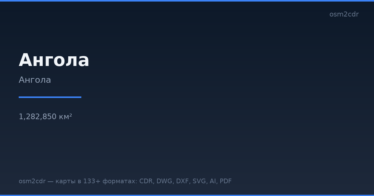
Karte von Angola im CSV-Format
Karte aus OpenStreetMap-Daten, bereit zum Herunterladen
Karte anpassen
Bereich dieses Ortes im Konstruktor offnen und alles anpassen
Im Konstruktor offnen →Karten-Steckbrief
Was diese Karte standardmäßig enthält
So wird die Karte „wie sie ist“ zusammengestellt — jeder Parameter lässt sich im Konstruktor ändern.
Über CSV
Karte von Angola im Format CSV — ein Export echter OpenStreetMap-Daten für den gewählten Bereich.
Text-based tabular format with coordinates in columns. A universal way to export geodata for spreadsheet analysis and data processing scripts.
Welche Ebenen die Datei enthält
Diese Datei enthält für den gewählten Bereich:
- Straßen
- Gebäude
- Wasser
- Grün
- Points of Interest
Koordinatensysteme
WGS 84 (EPSG:4326), im Assistenten wahlbar
Kompatibilität
Maßeinheiten
Meter (projiziert im gewählten Koordinatensystem)
| Kategorie | GIS |
| Dateierweiterung | .csv |
| Tarif | Kostenlos |
What's in the CSV map of Angola
51,836 buildings (16,567 residential, 188 commercial, 448 industrial, 132 religious), 200,230.0 km of roads, 14,339 points of interest, 200 landmarks.
The area covers 1,282,850 km², with about 0 buildings per km².
Mostly unclassified roads 101,885.3 km, residential streets 40,330.6 km, tertiary roads 24,154.1 km.
The map marks 94 parks and 1,421 water bodies.
Key amenities: schools — 927, hospitals — 249, pharmacies — 380.
Public transport: 372 bus stops, 6 tram stops, 191 rail stations.
Table with 14,339 points of interest and coordinates. Opens in Excel, Google Sheets, and any GIS.
Main streets: Alto Dondo/Quibala, Alto Dondo-Capanda, Muxima-Cabo Ledo, Tambor (Peleva)-Espinheira, Espinheira-Foz do Rio Cunene
Landmarks: Museu Dos Caminhos de Ferro, Museu da Força Aérea, Palácio de Ferro, Museu de Ciência e Tecnologia, Museum dos Reis do Kongo
So verwenden Sie CSV für Angola
- Wählen Sie den Kartenbereich von Angola auf der Hauptseite aus
- Wählen Sie das Format CSV und konfigurieren Sie die Exporteinstellungen
- Klicken Sie auf „Exportieren“ und warten Sie auf den Abschluss
- Laden Sie die fertige Datei herunter und verwenden Sie sie im gewünschten Programm
