Mapa Telemark ve formatu PDF
Stáhněte mapu Telemark ve formátu PDF. Data OpenStreetMap.
Generování mapy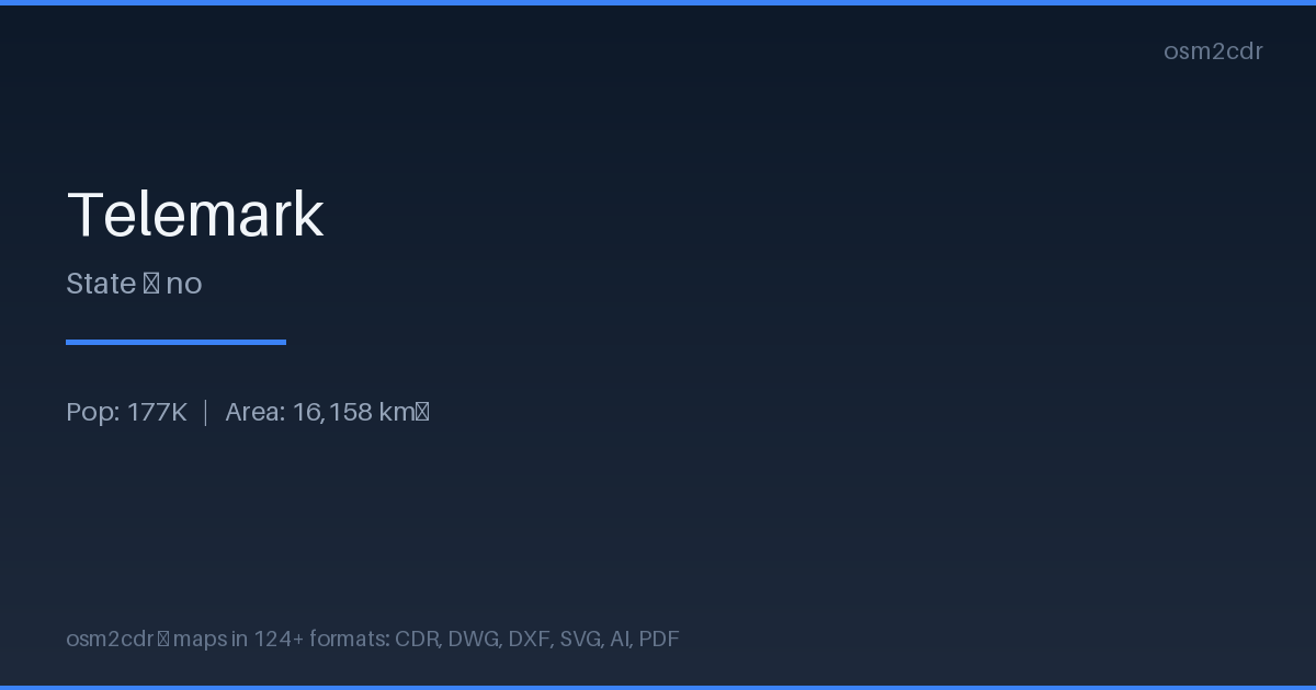
Map passport
O formátu PDF
Universal document format for printing and sharing. A PDF map preserves fonts, colors, and vector graphics on any device without distortion.
Využití
- Map printing
- email sharing
- presentations
- commercial printing
- archiving
| Kategorie | Vector |
| Přípona souboru | .pdf |
| Úroveň | Free |
What's in the PDF map of Telemark
188,243 buildings (51,048 residential, 2,536 commercial, 3,183 industrial, 181 religious), 13,058.6 km of roads, 3,300 points of interest, 15 landmarks.
Mostly service roads 5,517.5 km, unclassified roads 2,508.5 km, residential streets 1,614.9 km.
Among the objects: information — 541, post_box — 317, bench — 277.
Print-ready map with 188,243 buildings, 15 landmarks and 13,058.6 km of roads.
Main streets: Fyresdalsvegen, Tørdalsveien, Drangedalsveien, Borsævegen, Øyfjellvegen
Landmarks: Sannidal bygdetun, Myllarheimen, Henrik Ibsen museum, Playmobil museum, Jern- og Kanalutstilling
How to use PDF for Telemark
- Select the Telemark map area on the main page
- Choose PDF format and configure export settings
- Click Export and wait for processing
- Download the file and use in your application
Programs that open PDF
FAQ: PDF for Telemark
Can I edit the map in PDF?
PDF preserves vector graphics, so you can open the file in Adobe Illustrator or Inkscape and edit individual elements.
What will the file size be?
Size depends on area and detail level. A city district is 1-5 MB, a whole city is 10-50 MB.