Mapa Sangha ve formatu EPS
Stáhněte mapu Sangha ve formátu EPS. Data OpenStreetMap.
Generování mapy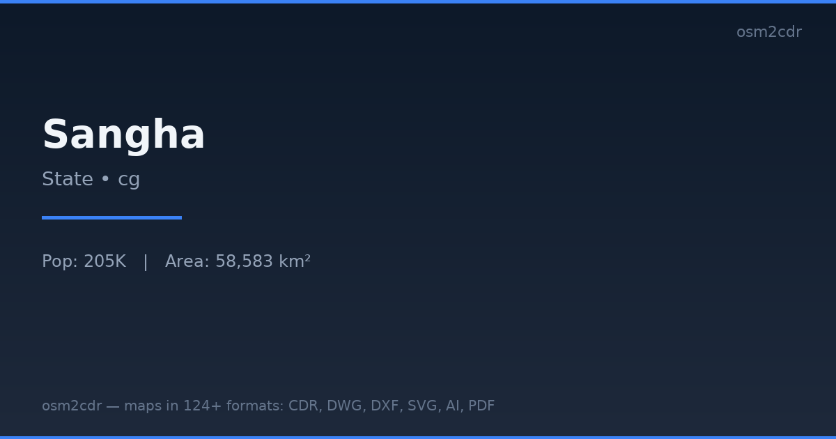
Map passport
Area58 583 km²
Buildings1 125
Roads1 822 km
Points of interest95
ProjectionWGS-84 (EPSG:4326)
LicenseODbL
Data sourceOpenStreetMap
O formátu EPS
Encapsulated PostScript — a print-industry standard for exchanging vector artwork. Supports CMYK color and raster previews, compatible with any professional software.
Využití
- Commercial printing
- layout exchange
- magazine and book layout
- prepress
| Kategorie | Vector |
| Přípona souboru | .eps |
| Úroveň | Free |
What's in the EPS map of Sangha
1,125 buildings (44 residential, 1 commercial, 1 industrial), 1,822.3 km of roads, 95 points of interest, 10 landmarks.
Mostly unclassified roads 539.3 km, trunk roads 512.2 km, tertiary roads 457.9 km.
Among the objects: hotels — 12, attraction — 11, police — 9.
EPS map contains 1,125 buildings and 1,822.3 km of roads. Ready for professional printing and layout.
Landmarks: Villa SANGHA, African Parks Offi, Rivière Noire, Observatoire, EADC
How to use EPS for Sangha
- Select the Sangha map area on the main page
- Choose EPS format and configure export settings
- Click Export and wait for processing
- Download the file and use in your application
Programs that open EPS
Adobe IllustratorCorelDRAWQuarkXPressAdobe InDesignScribus