OSM-Karte: EPS erhalten, statt GeoTIFF → EPS zu konvertieren
Möchten Sie eine Karte von GeoTIFF nach EPS umwandeln? Wenn Ihre Daten aus OpenStreetMap stammen, brauchen Sie keine zwischengeschaltete GeoTIFF-Datei: osm2cdr erstellt die Karte direkt aus der OSM-Quelle und liefert Ihnen ein fertiges EPS. Das ist schneller und genauer als die Kette „GeoTIFF herunterladen → in einen Konverter hochladen → EPS erhalten“: Sie wählen ein Gebiet auf der Karte, das EPS-Format und laden das Ergebnis mit aktuellen OSM-Daten und Ebenen für Gebäude, Straßen, Gewässer und Objekte herunter.
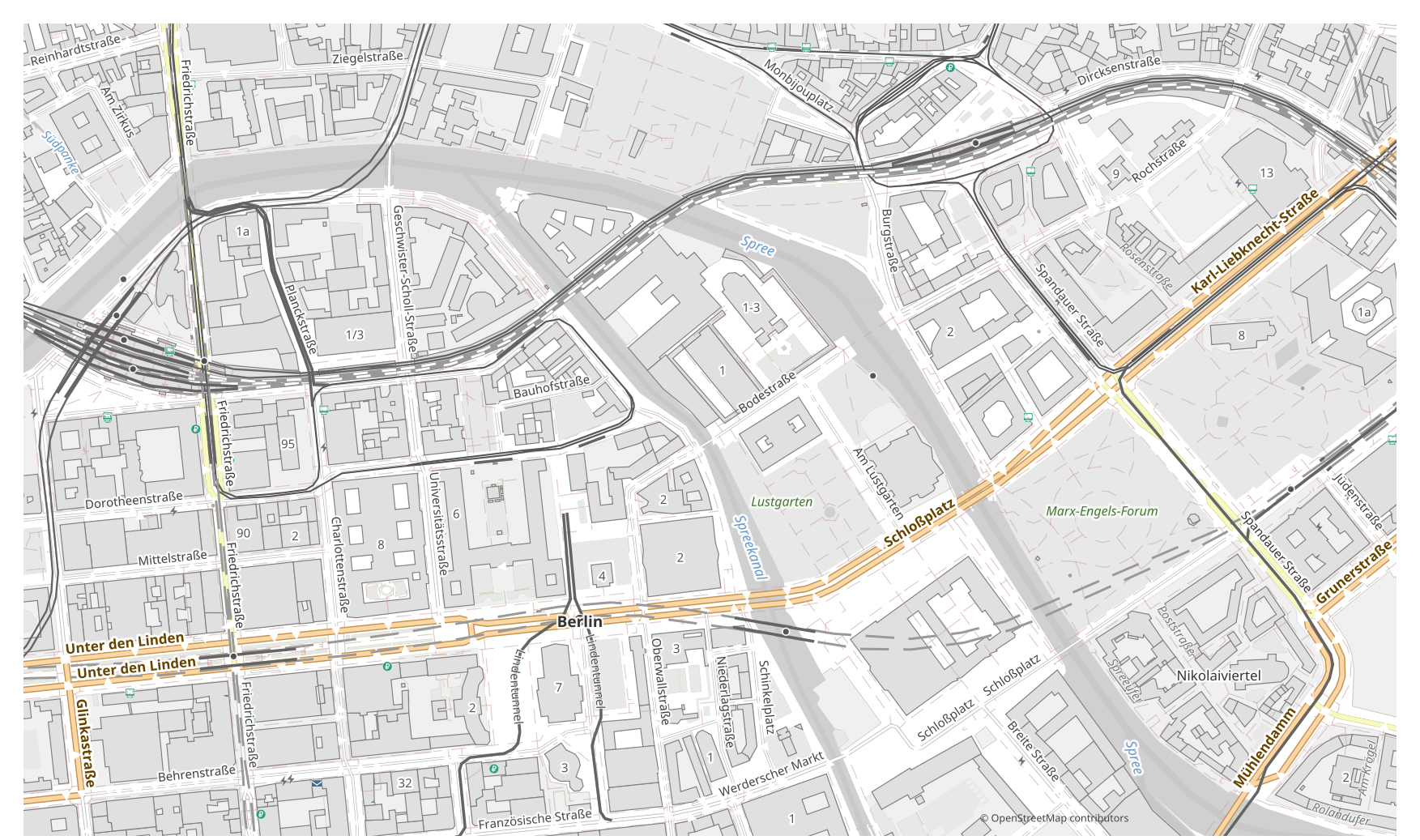
Wie sich GeoTIFF von EPS unterscheidet
| Format | Dateiendung | Typ | Verwendungszweck |
|---|---|---|---|
| GeoTIFF | .tif | Raster | GIS analysis, remote sensing, CAD base maps, orthophotos |
| EPS | .eps | Vektor | Commercial printing, layout exchange, magazine and book layout, prepress |
So erhalten Sie EPS auf osm2cdr
- 1Wählen Sie ein Gebiet auf der Karte auf der osm2cdr-Startseite
- 2Wählen Sie das EPS-Format und bei Bedarf einen Stil und ein CRS
- 3Klicken Sie auf Exportieren und laden Sie die fertige EPS-Datei herunter
Eigenschaften des EPS-Formats
| Dateiendung | .eps |
| Typ | Vektor |
| Verwendungszweck | Commercial printing, layout exchange, magazine and book layout, prepress |
Wann Sie EPS brauchen
Das EPS-Format ist praktisch, wenn Sie das Ergebnis in einem spezialisierten Programm öffnen und mit der Karte weiterarbeiten möchten: bearbeiten, drucken, analysieren oder in ein Projekt einbinden. osm2cdr liefert EPS in Ebenen aufgeteilt und mit aktuellen OpenStreetMap-Daten, sodass die Datei direkt nach dem Download einsatzbereit ist.
Was sich bei GeoTIFF → EPS ändert
Ein GeoTIFF-Raster speichert Pixel, nicht Objekte, daher ist eine Umwandlung in Vektor-EPS nur durch Nachzeichnen möglich, was näherungsweise ist und Details verliert. osm2cdr zeichnet Ihr Raster nicht nach: Es nimmt OpenStreetMap-Vektordaten und erstellt EPS direkt als bearbeitbare Grafik aus echten Objekten und Ebenen.
Wenn Sie eine eigene GeoTIFF-Datei haben (nicht von OSM)
osm2cdr nimmt keine fremden GeoTIFF-Dateien an und konvertiert sie nicht: Der Dienst arbeitet ausschließlich mit OpenStreetMap-Daten. Wenn Sie bereits eine eigene GeoTIFF-Datei haben, die nicht von OSM stammt, konvertieren Sie sie mit Drittanbieter-Werkzeugen nach EPS: GDAL/ogr2ogr über die Kommandozeile oder QGIS — öffnen Sie die GeoTIFF-Datei und speichern Sie die Ebene als EPS. Das ist kostenlos und läuft lokal, ohne Cloud-Upload.
FAQ: GeoTIFF → EPS
Kann ich meine GeoTIFF-Datei hochladen?
Noch nicht: Wir unterstützen das Hochladen von GeoTIFF-Dateien derzeit nicht, konvertieren Sie Ihre Datei daher mit ogr2ogr oder QGIS nach EPS. Und wenn Ihre Daten aus OpenStreetMap stammen, brauchen Sie überhaupt keine Datei — osm2cdr exportiert die Karte direkt nach EPS.
Ist es kostenlos?
Ja, der Export einer OpenStreetMap-Karte nach EPS auf osm2cdr ist kostenlos. Wählen Sie ein Gebiet und das EPS-Format und laden Sie das Ergebnis herunter.
Welche Programme öffnen EPS?
Das EPS-Format öffnet sich in spezialisierten Programmen seiner Kategorie. Die vollständige Liste und Details finden Sie auf der EPS-Formatseite.
Warum ist das besser als ein Online-Konverter für GeoTIFF → EPS?
Ein Online-Konverter begrenzt die Ergebnisqualität auf die Qualität der GeoTIFF-Quelldatei. osm2cdr nimmt die Daten aus der OpenStreetMap-Quelle und erstellt EPS direkt mit korrekten Ebenen — ohne Verluste durch eine zwischengeschaltete GeoTIFF-Datei.