Map of Пул in SVG format
Изтеглете картата на Пул във формат SVG. Данни от OpenStreetMap.
Генериране на карта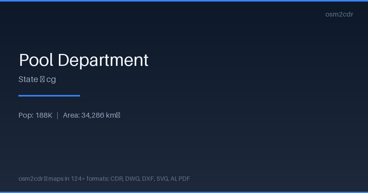
Map passport
За SVG
Scalable Vector Graphics — an open XML-based format for web graphics and print. The map stays crisp at any zoom level, perfect for embedding on websites and printing posters.
Приложения
- Web design
- infographics
- poster printing
- embedding maps on websites
- map animation
| Категория | Vector |
| Файлово разширение | .svg |
| Ниво | Free |
What's in the SVG map of Пул
21,450 buildings (5,394 residential, 1 commercial, 3 industrial, 2 religious), 5,218.7 km of roads, 53 points of interest, 3 landmarks.
Mostly unclassified roads 2,322.5 km, tertiary roads 1,355.3 km, residential streets 742.9 km.
6.2% of the area is green space.
Among the objects: attraction — 11, police — 7, atm — 6.
Scalable map with 21,450 buildings and 53 points of interest. Each object is a separate SVG element for editing.
Main streets: Avenue de Kintélé, Boulevard Denis Sassou-Nguesso, Avenue Kinkala, Avenue Loukanga, Avenue Brazzaville
Landmarks: Chutes du Loufoulakari, Chutes du Loufoulakari, 100Km Odiba
How to use SVG for Пул
- Select the Пул area for export
- Choose SVG and customize the map style
- Download and open in Inkscape or Figma
- Edit individual elements as vector objects
Programs that open SVG
FAQ: SVG for Пул
Does SVG support layers?
Yes, each feature type (buildings, roads, water) is exported as a separate SVG group that can be toggled on and off.
Can I use the SVG on a website?
Yes, SVG is perfect for web pages. The file scales without quality loss and supports interactivity via CSS and JavaScript.