خريطة Amazonas بصيغة PDF
حمّل خريطة Amazonas بصيغة PDF. بيانات OpenStreetMap.
الإنشاء يستغرق ~1-3 دقائق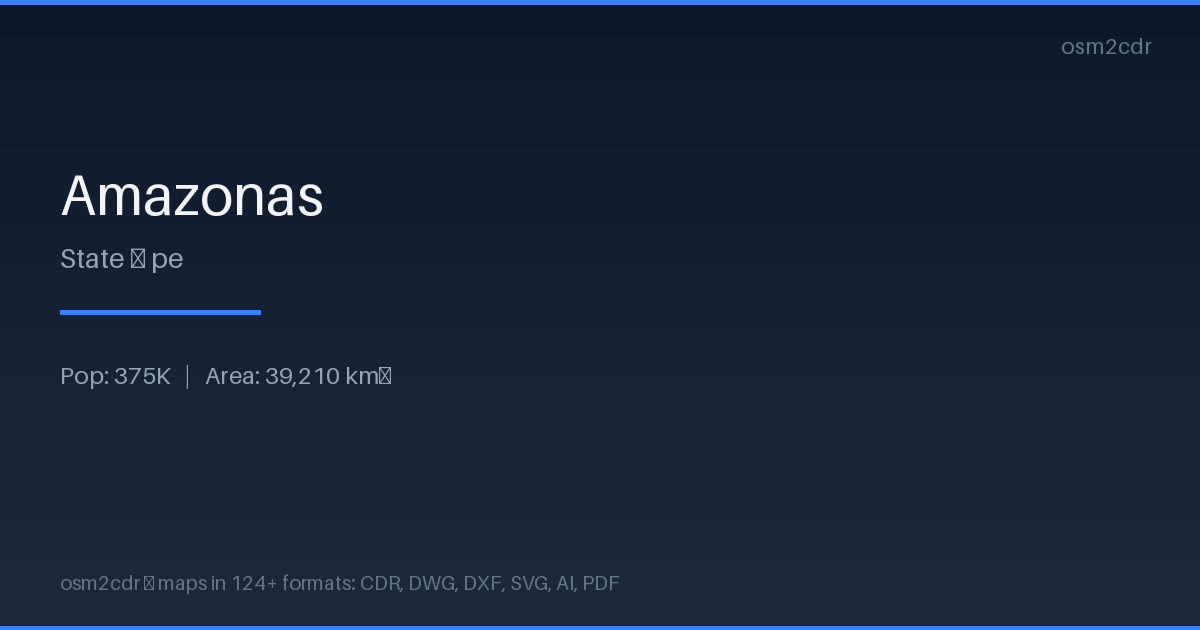
Map passport
حول PDF
Universal document format for printing and sharing. A PDF map preserves fonts, colors, and vector graphics on any device without distortion.
حالات الاستخدام
- Map printing
- email sharing
- presentations
- commercial printing
- archiving
| الفئة | Vector |
| امتداد الملف | .pdf |
| المستوى | Free |
What's in the PDF map of Amazonas
44,344 buildings (105 residential, 1 commercial, 1 industrial, 21 religious), 6,572.4 km of roads, 3,041 points of interest, 15 landmarks.
Mostly unclassified roads 2,046.0 km, tertiary roads 1,610.3 km, residential streets 1,188.0 km.
1.9% of the area is green space.
Among the objects: schools — 1,374, kindergarten — 813, doctors — 284.
Print-ready map with 44,344 buildings, 15 landmarks and 6,572.4 km of roads.
Main streets: Carretera Huaylla Belén, Carretera Nuevo Tingo - Colcamar, A Nuevo Paraiso, Carretera Nogalcucho - Kuelap, Santa Cruz
Landmarks: Museo del sarcófago de Karajia, Museo Jalca Grande, Museo de Leymebamba, Museo de Lámud, Salas de Exposición "Gilberto Tenorio Ruiz"
How to use PDF for Amazonas
- Select the Amazonas map area on the main page
- Choose PDF format and configure export settings
- Click Export and wait for processing
- Download the file and use in your application
Programs that open PDF
FAQ: PDF for Amazonas
Can I edit the map in PDF?
PDF preserves vector graphics, so you can open the file in Adobe Illustrator or Inkscape and edit individual elements.
What will the file size be?
Size depends on area and detail level. A city district is 1-5 MB, a whole city is 10-50 MB.